10 named areas
Where the fish are
Shawano Lake is 6,215 acres of mostly the same thing: sand bottom under 9 feet of stained water with weeds growing on it. The places worth your time are where that pattern breaks, which means current, a hard edge, or a hole.
The map
Markers are approximate reference points, not survey marks. Zoom in to see the bays and the outlet channel.
Showing all 10 spots.
Map tiles © OpenStreetMap contributors. Tiles load from the internet; everything else on this page is served from this machine.
The spots
01
Cecil Bay and the east taper
The lake narrows to under a mile from north to south at its east end and shallows out. Heavy vegetation, warm water, and the Cecil launch right on it. This is the best largemouth and panfish water on the east half.
02
Cecil Point drop-off
Travel Wisconsin names the steep break north of Cecil Point as the summer walleye spot. Work the sharp inside turns and the points along it rather than the straight sections.
03
The channel to Loon Lake
A quarter mile of moving water joins the north shore of Shawano Lake to the south tip of Loon Lake. Current concentrates bait, fish move through it in both directions, and the DNR PIT tag arrays went in exactly here in 2024 to measure that movement. Anglers call this stretch the Narrows.
04
The west basin
The widest and deepest part of the lake, running just under 3 miles north to south. Only 6.16% of Shawano Lake is deeper than 20 feet, and most of that sits here. Winter crappie hold in the basin and summer walleye slide to the edge of it.
05
North shore flats, off the county park
Sand bottom under weed growth, with the biggest launch on the lake a cast away. The DNR electrofished this shoreline and counted 123.3 bluegill and 85.3 pumpkinseed per mile.
06
Shawano Lake Outlet
- Largemouth bass
- Yellow perch
- Black crappie
- Walleye
- Northern pike
- Muskellunge
- Smallmouth bass
- Rock bass
- Channel catfish
- Pumpkinseed
The channel that drains the lake into the Wolf River, and the best-scoring water in the whole system. Largemouth size structure of 73 against 49 in the main lake, and the longest yellow perch the DNR measured at 12.6 inches. Spring runs of walleye, pike and musky pass through it.
07
Wolf River Pond
The slack water above the Shawano dam. It produced the longest crappie in the 2023 survey at 13.1 inches, and its bluegill reach 7 inches roughly two and a half years faster than the fish in the main lake.
08
Wolf River below the dam
The spring run water, and the bank where people gather in April to watch lake sturgeon spawn. Note the closure: from April 15 to May 15 the stretch below the dam is a fish refuge and is off limits.
09
Loon Lake
The connected basin to the north. The DNR netted 459 black crappie here, more than any other water in the system, though the average fish runs small and growth is the slowest of the five waters.
10
Washington Lake
Small, weedy and connected, northeast of the main lake. Crappie density hits the 84th percentile statewide and perch the 88th, but the panfish size structure is the weakest of the five waters. Treat it as a numbers stop.
No spot on this list is tagged for that species.
Which spot for which fish
Pick the fish, read across, go there. Every row links to the species page for the baits and the depths.
| Species | Spots that hold it |
|---|---|
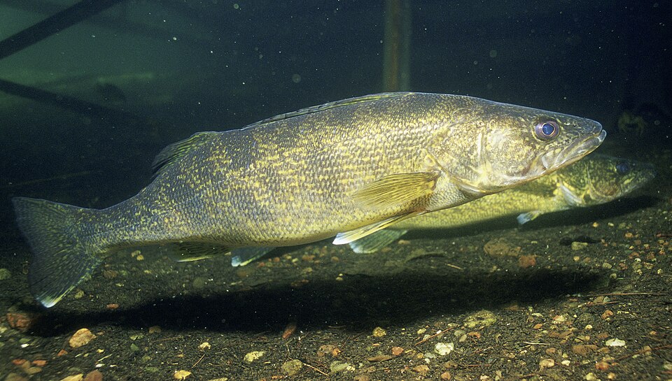 Walleye
|
Cecil Point drop-off · The channel to Loon Lake · The west basin · Shawano Lake Outlet · Wolf River below the dam · Loon Lake |
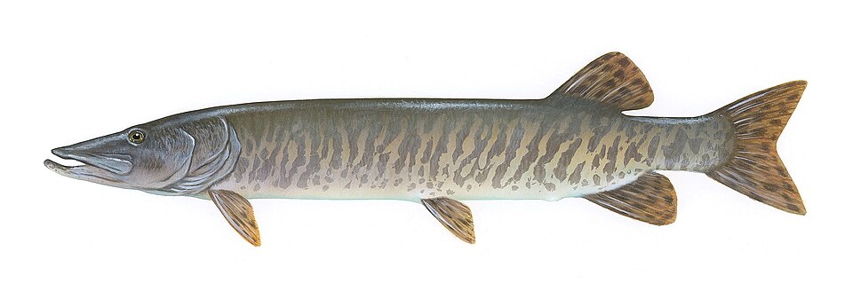 Muskellunge
|
The channel to Loon Lake · The west basin · North shore flats, off the county park · Shawano Lake Outlet |
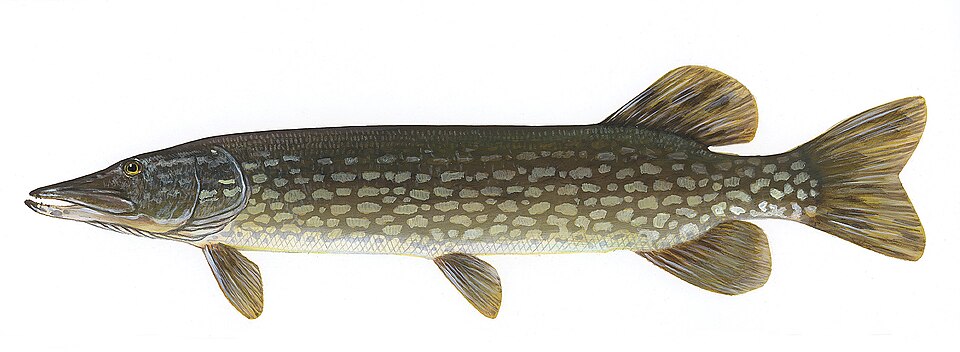 Northern pike
|
Cecil Bay and the east taper · Cecil Point drop-off · The channel to Loon Lake · The west basin · North shore flats, off the county park · Shawano Lake Outlet · Loon Lake · Washington Lake |
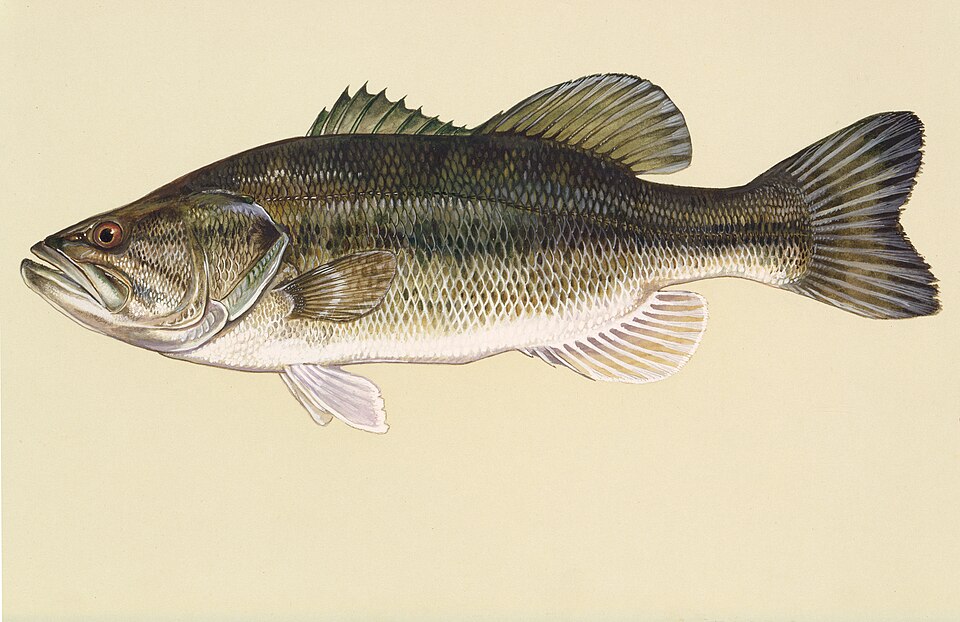 Largemouth bass
|
Cecil Bay and the east taper · North shore flats, off the county park · Shawano Lake Outlet |
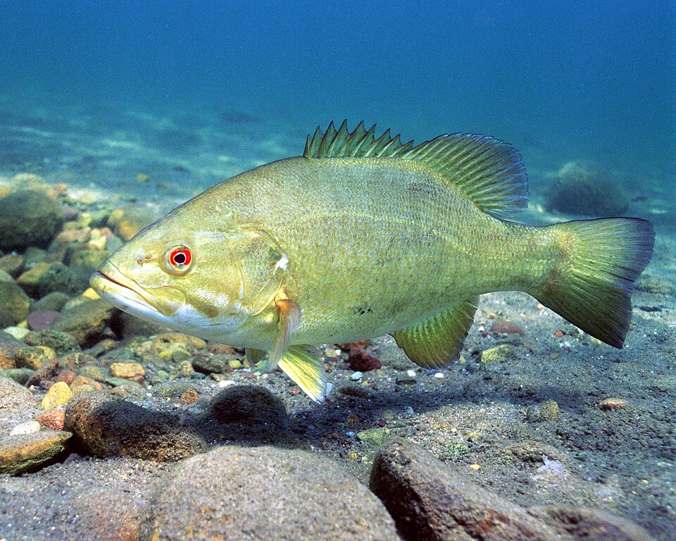 Smallmouth bass
|
The channel to Loon Lake · Shawano Lake Outlet |
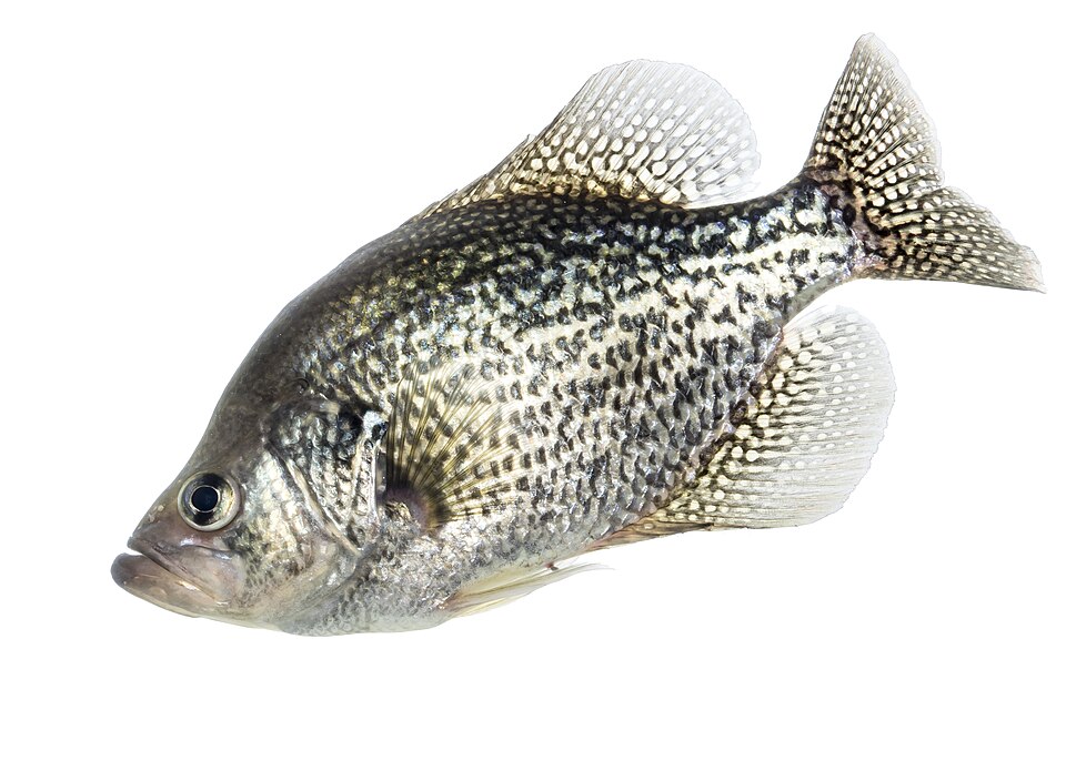 Black crappie
|
Cecil Bay and the east taper · The channel to Loon Lake · The west basin · Shawano Lake Outlet · Wolf River Pond · Loon Lake · Washington Lake |
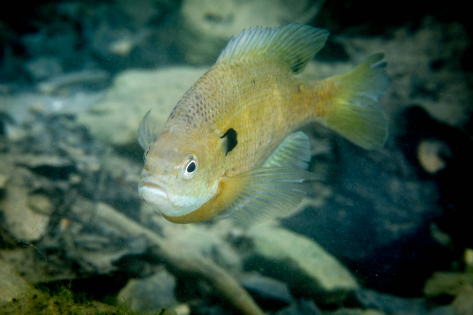 Bluegill
|
Cecil Bay and the east taper · North shore flats, off the county park · Wolf River Pond · Loon Lake · Washington Lake |
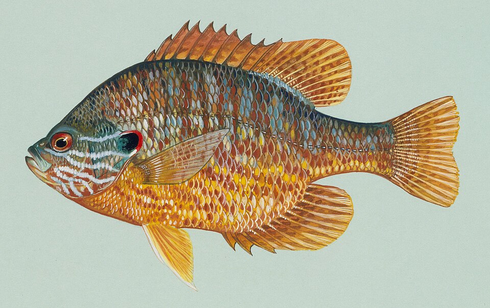 Pumpkinseed
|
Cecil Bay and the east taper · North shore flats, off the county park · Shawano Lake Outlet · Wolf River Pond · Loon Lake |
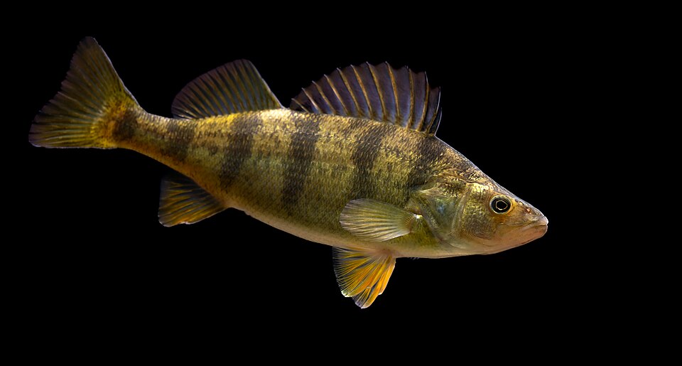 Yellow perch
|
The west basin · North shore flats, off the county park · Shawano Lake Outlet · Washington Lake |
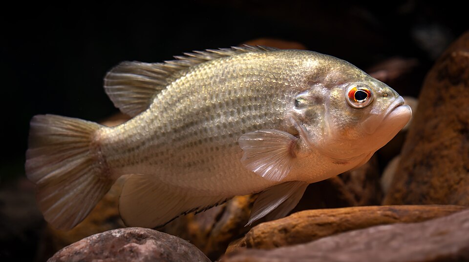 Rock bass
|
Shawano Lake Outlet |
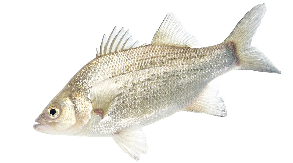 White bass
|
Wolf River Pond · Wolf River below the dam |
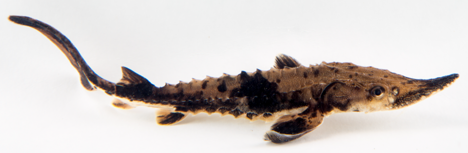 Lake sturgeon
|
Wolf River below the dam |
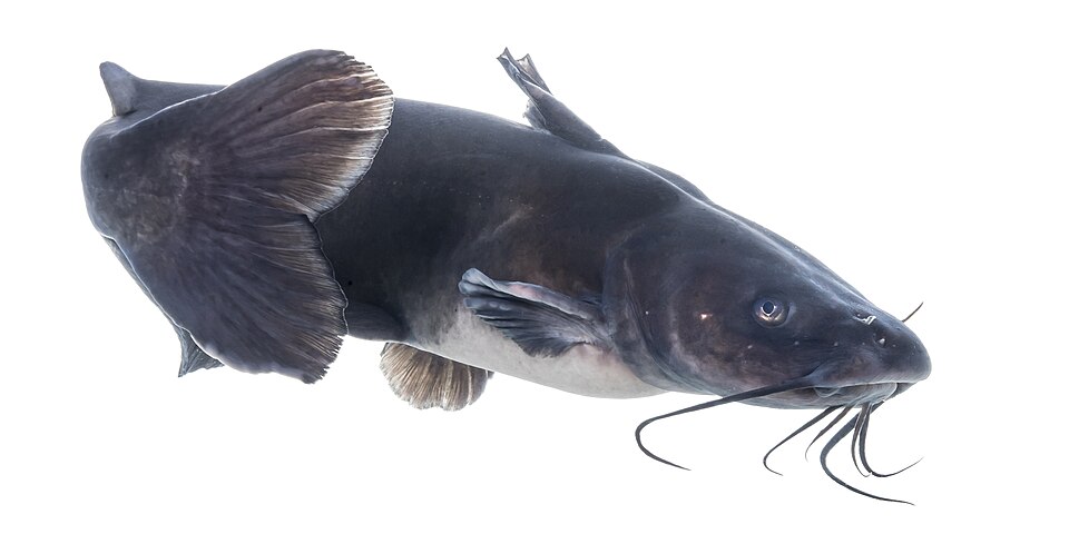 Channel catfish
|
Shawano Lake Outlet · Wolf River below the dam |
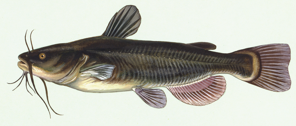 Black bullhead
|
Wolf River Pond |
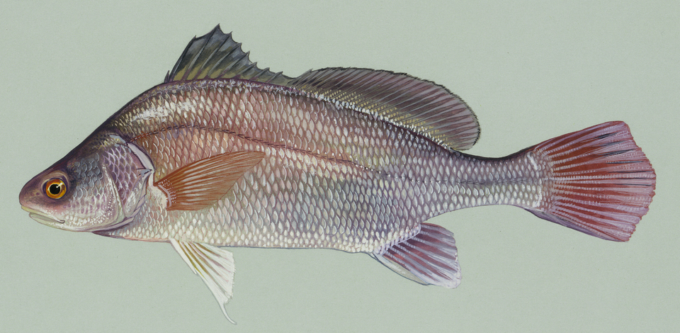 Freshwater drum
|
Wolf River Pond · Wolf River below the dam |
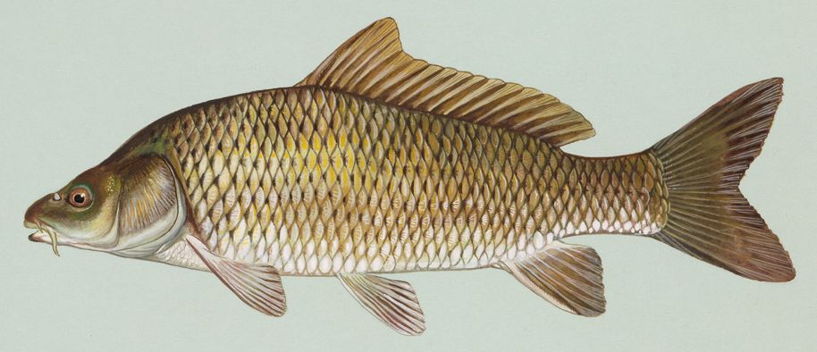 Common carp
|
Wolf River below the dam |
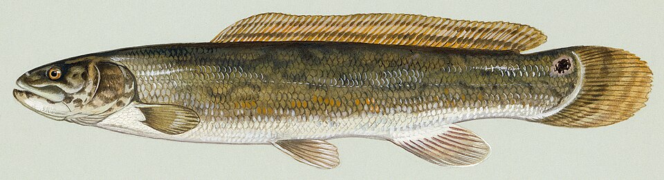 Bowfin
|
Cecil Bay and the east taper |
Reading the lake through the season
Ice-out to the end of May
- Pike spawn first, in emergent vegetation at 34 to 40 degrees. Fish the reeds.
- Walleye follow at 40 to 50 degrees and run the outlet and the tributaries. The DNR PIT-tagged 809 of them to map exactly this movement.
- Yellow perch spawn at 45 to 50 degrees on submerged brush and weeds.
- Musky spawn last, shallow, at 50 to 60 degrees.
- Note the closure: the Wolf River below the Shawano dam is a refuge from April 15 to May 15.
June to August
- Crappie suspend at 8 to 14 feet next to submerged weeds.
- Bass move to docks, pads and the deep weedline. Topwater works at dawn.
- Walleye go nocturnal. Late June through August, fish after dark on the weed edges.
- Recreational boat traffic peaks on weekends and holidays, and the launches back up. Be on the water before 9 a.m.
September to freeze-up
- Musky season peaks. September and October produce the biggest fish of the year.
- Pike move back onto the deep weed edges and feed hard.
- Crappie school tighter and move toward the basin.
- Musky season closes December 31, ahead of everything else.
Late December to February
- Crappie hold in the basin. The lake has one deep hole and they use it.
- Perch sit shallow, in 4 to 5 feet in the flooded timber.
- 4 mm tungsten jigs and 1/32 oz jigging spoons are the local standard for panfish.
- Walleye come alive after dark on the weed edges.
- Walleye and pike seasons run to March 7. Musky is closed all winter.
Ice safety. No agency measures or certifies ice thickness on this lake. Shanty towns and an ice-racing course go up here most winters, and neither one is evidence that the ice is safe where you are standing. Check with a local bait shop and drill your own holes.
The 1974 contour sheets
The Wisconsin DNR mapped this lake with recording sonar in July 1974 and published three sheets. They are the only public depth contours for Shawano Lake. They also print the bottom composition letter by letter, which is how you find the silt, the gravel and the stumps without a sonar unit of your own.
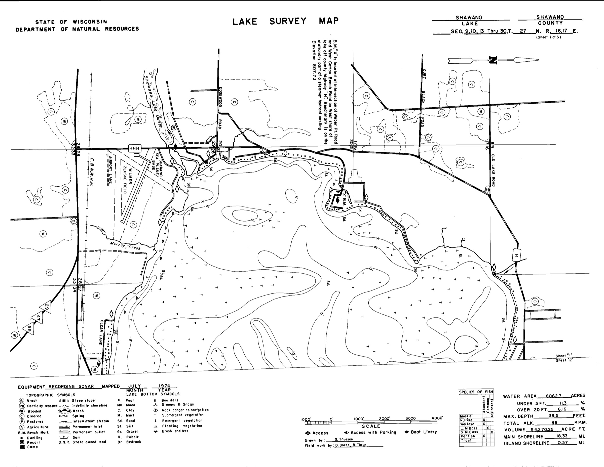
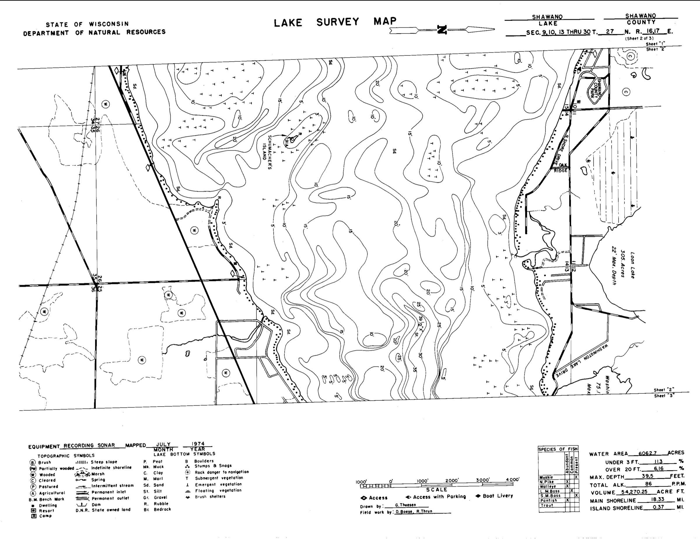
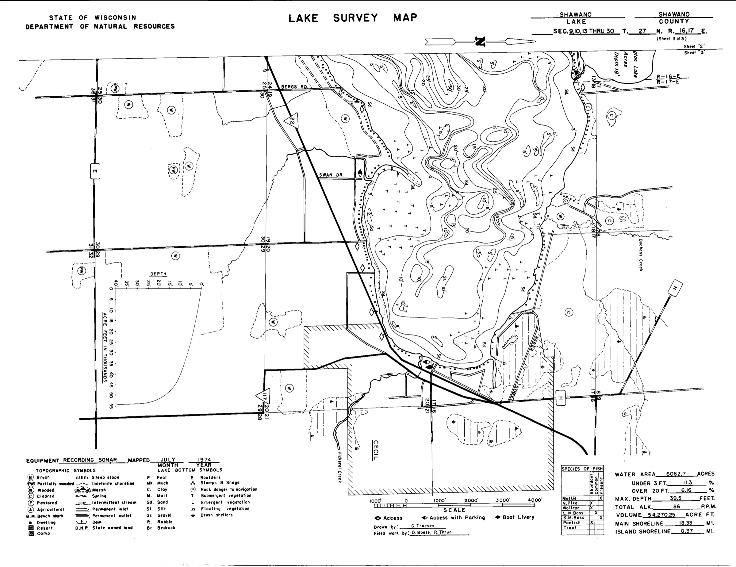
Historical, not navigational. These sheets are 52 years old. Depths, shorelines and structures have moved. Use them to understand the shape of the lake and use a current chart to run it.